Google maps tend to be more accurate for regular people observation.
Even if you get your spinning globe at the corner of the room and observe details with a magnifier, you will see no difference if the map was flatten or not.
In small angles it is very difficult to notice differences.
Google does that, when you zoom in, it tend to flat since there is no gain in keeping the roundness.
If you zoom out, it tend to become more and more round, but it is just for the sake of it, you don't have any real use for a whole planet view as a map, other than just curiosity to locate something or to learn a little bit more.
Google gain points by that, since you can actually see the poles in almost real geometry, and the lands of higher latitudes.
Microsoft tend to be lazy on the programming for real time scaling, they keep the map as the Mercator projection - some navigators like the mercator since it represent a spaced time longitude, but fails on distances. Spaced time is good for navigation observing the sky, Sun, stars, etc, but it doesn't mean exactly "clock time", since distances become shorter, it seems you are traveling faster, what is not true. If you measure wind speed and knots of water movement, it doesn't match the traveled time, but they use a table for latitude compensation that fixes that, they are not stupid.
For the common person, observing the Mercator map makes a wrong impression of the planet, but a great part of the "common persons" can not even think in 3D or in a spherical navigation, most of them not even left the city they're born, so...
My own young age education used the Mercator map, and it polarized my mind in a wrong way. It took few years of my youth to correct it, mostly close to the poles. Then, and only then, everything about the solar projections, seasons and eclipses start to make better sense, and then I move out from the bag of "common persons".
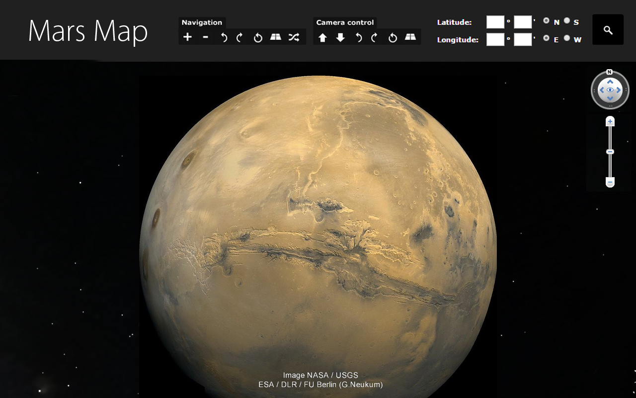
Interesting that there is no need to use Mercator projection for Mars map, for example, but it is done like that, and I think they do it for "compatibility" of what "common person" is used on the Mercator map of Earth. Even so, I think it is ridiculous. Fortunately we have GoogleEarth with Mars 3D database, what solves the issue easy.
There is a lot of people already working for the Human trip to Mars, it is a good plan, there are many thousands of people, companies, universities (including us) studying all kinds of subjects, everything you can imagine and more, just to avoid surprises once on Mars. In 20~40 years we will have people there, researching, living, expanding environmental habitats, increasing the living conditions for more and more people moving to Mars. There is even a research about animal embryos to be transported to Mars and grew up there, some as food, some as pets, some tests involve low oxygen levels. FEs would continue to say it is just fake pictures and images from NASA, unfortunately, for them.
https://youtu.be/8QtXFLL7Y2g